Where is Pico de Orizaba Located?
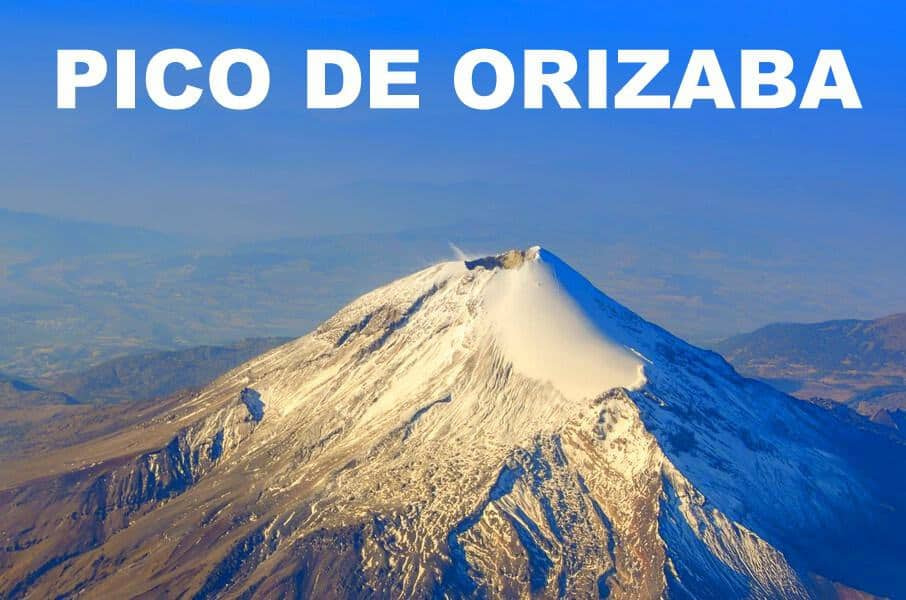
Pico de Orizaba is located in Mexico. It is on the border between the Mexican states of Puebla and Veracruz. Orizaba is a city and municipality in Veracruz.
Pico de Orizaba is sometimes called by its Aztec name Citlaltepetl, which translates to “Star Mountain.”
How Was it Formed?
Pico de Orizaba is a stratovolcano, part of the Trans-Mexican Volcanic Belt. This belt was formed due to the subduction of the Cocos and Rivera plates beneath the North American plate. As these oceanic plates descended into the Earth’s mantle, magma rose through the crust, leading to numerous eruptions that built up the mountain’s structure over time.
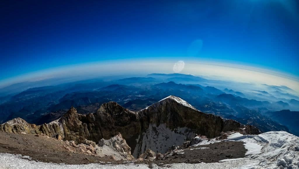
The last major eruption of Pico de Orizaba occurred during the Holocene epoch, which is the current geological epoch that began approximately 11,700 years ago after the last major ice age. However, it is believed that the volcano has been dormant for several centuries. However, it remains an active volcano, with the potential for future eruptions.
How Tall is Pico de Orizaba?
Pico de Orizaba is 18,491 feet (5,636 meters) tall. It is the highest mountain in Mexico and the third highest peak in North America, behind the USA’s Denali and Canada’s Mount Logan.
How Long Does it Take to Climb?
The climb can be completed in one to two days. Two days is recommended for better acclimatization.
How Hard is it to Climb Pico de Orizaba?
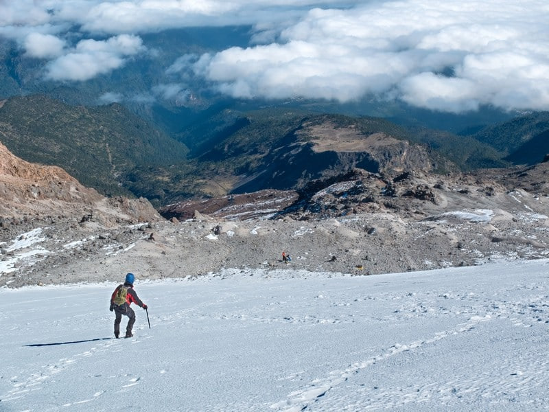
Climbing Pico de Orizaba is moderately difficult and poses numerous challenges.
The risk of altitude sickness is significant given the low oxygen environment. At the summit, the oxygen content is 51% of that of sea level. The inability to acclimatize to this elevation can cause acute mountain sickness (AMS), which can be fatal.
Morevover, scaling the peak requires technical climbing skills and physical endurance. The ascent involves navigating steep slopes and glacier travel.
Lastly, the weather is notably unpredictable. Weather on the mountain can change rapidly, potentially presenting frigid temperatures and high winds.
What is the Success Rate on Pico de Orizaba?
The success rate for climbers is about 50%. Those who are well-prepared and properly acclimatized have a much higher success rate. However, weather conditions and the chosen route also have an impact.
Can Beginners Climb Pico de Orizaba?
Yes. But, it is not recommended for complete novices. Climbers should have hiking experience and a good level of fitness. Futhermore, climbers should ideally have some proficiency in walking on snow and ice with crampons, know how to self-arrest with an ice axe, and understand the dynamics of roped travel on glaciers or snow slopes.
Who Was the First Person to Climb Pico de Orizaba?
The first recorded ascent was made by a team led by U.S. military officer William F. Raynolds in 1848. However, there is evidence that indigenous people may have reached the summit before then.
How Many People Climb Pico de Orizaba Per Year?
It is estimated that 2,000 people climb per year.
How Do You Train to Climb Pico de Orizaba?
Training involves a combination of cardiovascular fitness, high-altitude experience, and technical climbing skills. Hikes at altitude, as well as practice with crampons and ice axe would suffice.
What is the Best Time to Climb Pico de Orizaba?
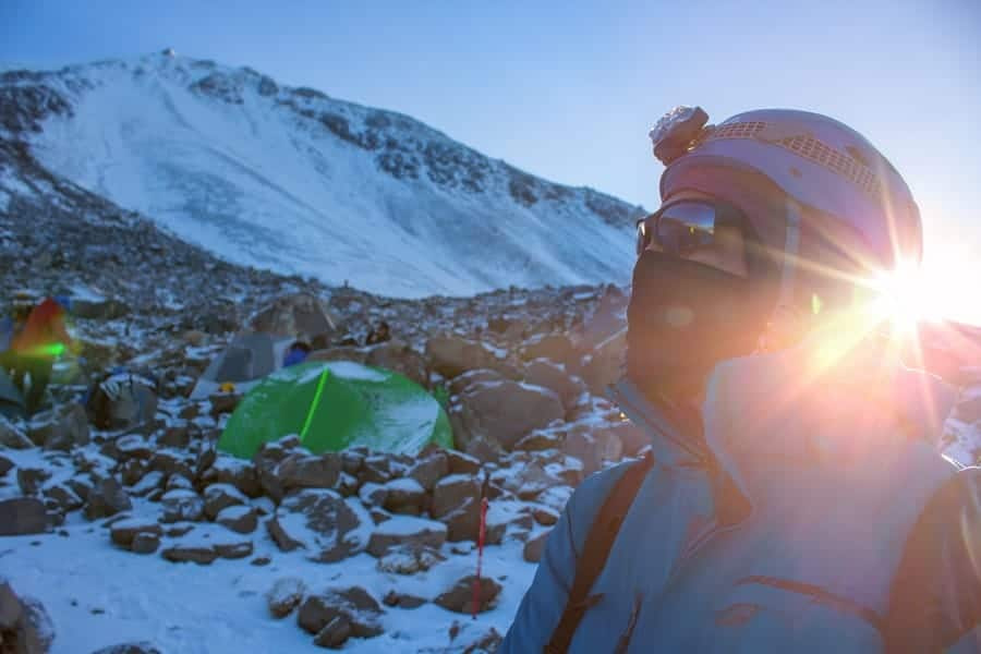
The best time to climb is during the dry season, from November to March. During this period, climbers can expect more stable weather conditions, with lower chances of precipitation and clearer skies. This makes it safer and more predictable. At the summit, temperatures can drop below 0°F (-18°C) at night. During the day, temperatures may rise slightly but generally remain below freezing.
The wet season lasts from April to October, with the heaviest rainfall occuring from June to September. During this time, there is an increased risk of landslides and rockfall on lower slopes and poor visibility higher up. Temperatures are slightly warmer than in the dry season, but the summit remains cold, with temperatures often hovering around freezing.
What are the Different Climate Zones on the Mountain?
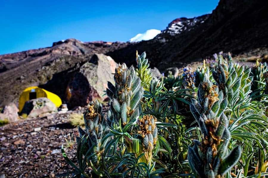
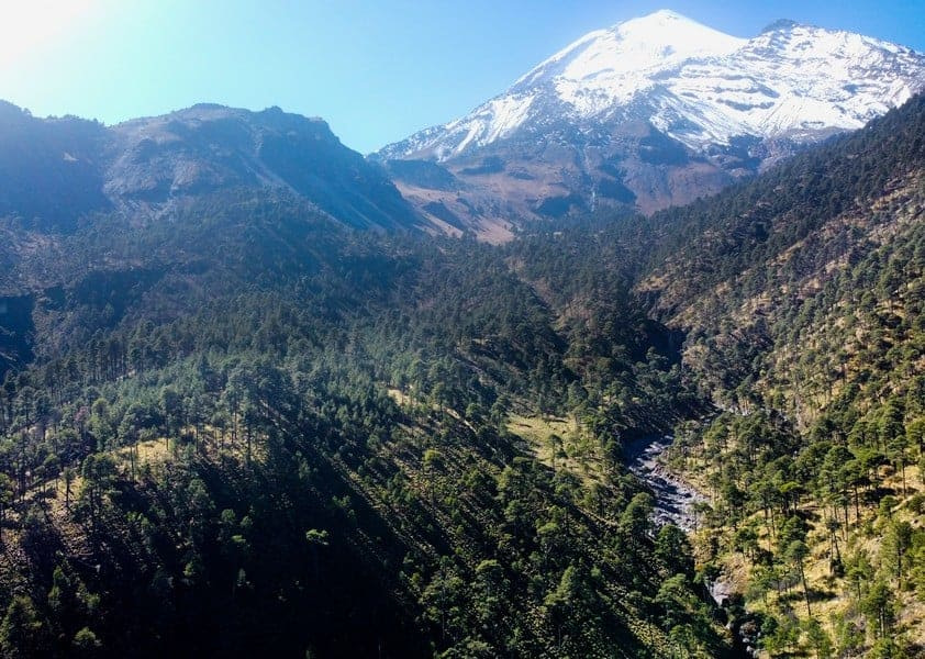
Pico de Orizaba spans several climate zones, from tropical at its base to polar at its summit, which affects the weather conditions climbers will face as they ascend.
- Tropical Zone (Below 10,000 feet): The lower slopes of the mountain are warm and humid, with temperatures typically ranging from 50°F to 80°F (10°C to 27°C). This zone is characterized by dense forests.
- Temperate Zone (10,000 to 13,000 feet): As elevation increases, temperatures drop, and vegetation changes to pine and fir forests. Average temperatures range from 32°F to 60°F (0°C to 15°C), with colder conditions at night.
- Subalpine and Alpine Zones (13,000 to 16,000 feet): This zone marks the transition to grasslands and sparse vegetation, with temperatures often below freezing at night. Daytime temperatures can vary widely, from below freezing to above 50°F (10°C), depending on sun exposure.
- Glacial Zone (Above 16,000 feet): The highest reaches are characterized by permanent ice and snow. Temperatures here are consistently below freezing, from 20°F to -10°F (-6°C to -23°C), and can drop significantly lower with wind chill.
How Many Climbing Routes Are on Pico de Orizaba?
There are three main routes and several other less popular paths.
Jamapa Glacier Route (The Standard Route)
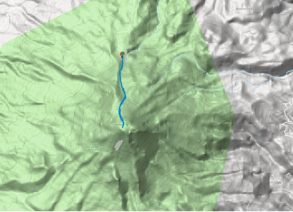
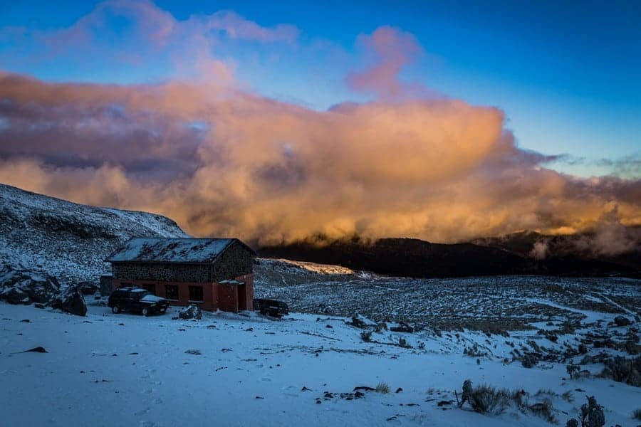
The Jamapa Glacier Route, often referred to as the “Standard Route,” is the most popular path to the summit. Originating from the Piedra Grande hut at approximately 14,010 feet (4,270 meters), this route is favored for its relatively straightforward navigation and the minimal technical challenges it presents. This route is most suitable for those with basic snow and ice climbing skills.
- Difficulty: Moderate
- Duration: 6 to 12 hours for the summit day, depending on acclimatization and conditions.
- Features: The route involves trekking through rocky terrain before reaching the glacier. Upon reaching the glacier, climbers encounter a steady incline with slopes averaging 30 to 35 degrees, requiring the use of crampons and ice axes.
North Face Route
For those seeking a more technical climb, the North Face Route offers a more challenging alternative. This path demands a higher level of skill and is recommended for more experienced mountaineers.
- Difficulty: Challenging
- Duration: Varies significantly based on conditions and climber experience.
- Features: The route features steep ice and snow slopes that can exceed 50 degrees. Climbers must be proficient in advanced ice climbing techniques and comfortable with exposure.
Ruta Sur (South Route)
The Ruta Sur, or South Route, is less frequented. This route requires a longer approach.
- Difficulty: Moderate to Challenging
- Duration: Requires an additional day for the approach compared to the Standard Route.
- Features: Climbers navigate through rocky terrain and dense vegetation before reaching the more technical sections, which include mixed climbing over rock, ice, and snow.
Orizaba’s Other Routes
In addition to these primary routes, several other paths exist, such as the Espolon de Oro and the Serpents Head. These are less commonly attempted but offer seasoned climbers opportunities for different, less trodden paths.
What is Summit Day Like on the Standard Route?
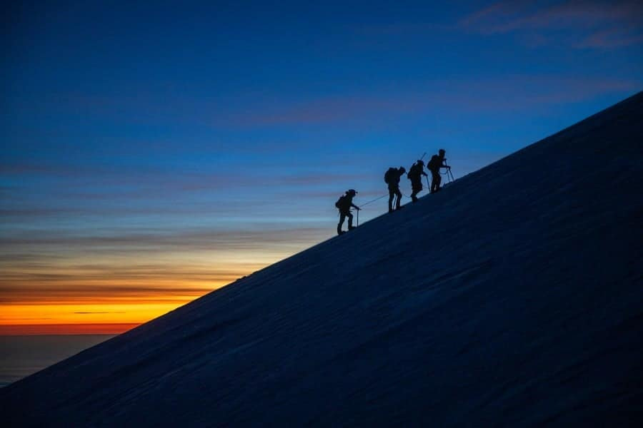
The summit push typically begins in the early hours of the morning, around 2-3 AM, to take advantage of stable weather conditions and to ensure there is enough time to return to base camp before the afternoon, when the weather deteriorates. Climbers ascend in the dark with the goal of reaching the summit at sunrise or shortly thereafter.
The duration of the summit day can range from 8 to 12 hours round trip, depending on the climber’s pace, weather conditions, and how well they’ve acclimatized. The climb from Piedra Grande to the summit involves a steep ascent, initially over rocky terrain and then onto the glacier, where the use of crampons and ice axes becomes necessary.
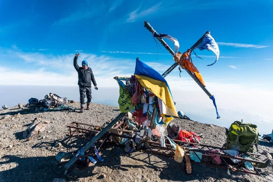
After reaching the summit, climbers descend the same route back to Piedra Grande. The descent typically takes less time than the ascent. Once back at Piedra Grande, climbers may rest overnight or begin their journey back to civilization, depending on their condition and schedule.
How Much Does it Cost to Climb Pico de Orizaba?
The cost averages between $500 to $900, in US dollars. The price depends on the level of support and guidance required. Expenses may include guide fees, equipment rental, and transportation to and from the mountain.
How Many People Have Died on Pico de Orizaba?
While exact figures are not readily available, Pico de Orizaba has claimed lives of about 60 people in total. The causes of death include falls, altitude sickness, and exposure.
How Does Mount Kilimanjaro Compare to Pico de Orizaba?
Mount Kilimanjaro is the highest peak in Africa, reaching 19,341 feet (5,895 meters) in elevation. It is only slightly taller than Pico de Orizaba, the highest mountain in Mexico, at 18,491 feet (5,636 meters). Both mountains are dormant volcanoes that have glaciers near the summit.
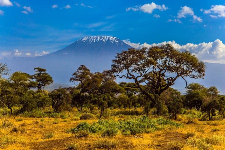
Climbing Kilimanjaro is more about endurance than technical skill. Routes vary in duration and difficulty, but none require mountaineering skills. Pico de Orizaba can be scaled faster than Kilimanjaro, but it requires participants to have some technical skills, particularly in glacier travel.
Interested in climbing Kilimanjaro? Start here.


